Maps of Wales

Maps of Wales graphic

Maps covering Wales. For more detailed maps of parts of Wales, view county maps, town plans, or Ordnance Survey maps.

  • See also: maps of Great Britain and Ireland, or maps of England and Wales.

    (We are planning to expand coverage of these maps during 2024).

    Browse these maps using a graphic index


    Select the map you wish to view (listed chronologically):


    1870 - John AIREY - Railway diagram of South Wales ...
    1877 - WATERLOW AND SONS - Campions map of colleries, iron works, railways and stations in the mineral district of South Wales.
    1882 - W. & A.K. JOHNSTON - Wales
    1910 - J. & W. EMSLIE - Official railway map of South Wales. Prepared and published at the Railway Clearing House ...
    1910 - Henry K. JORDAN - South Wales Coal-Field. Part II. Plan of Swansea district shewing the crops of the coal seams
    1910 - Henry K. JORDAN. - The South Wales Coal-Field. Part II. Comparative sections of the lower measures in the north crop
    1912 - Ifor P. DAVIES - Map of South Wales Steam Coal properties shewing coals on the British Admiralty list
    1921 - J. & W. EMSLIE - Official railway map of South Wales. Prepared and published at the Railway Clearing House ...
    1921 - South Wales coalfield. Map showing the mineral takings of steam and anthracite properties, the railways serving the district and the ports of shipment.
    1924 - South Wales coalfield. Map shewing the mineral takings of lessees of the no. 2 Rhondda and other bituminous seams.
    1926 - J. & W. EMSLIE - Official railway map of South Wales. Prepared and published at the Railway Clearing House London ...
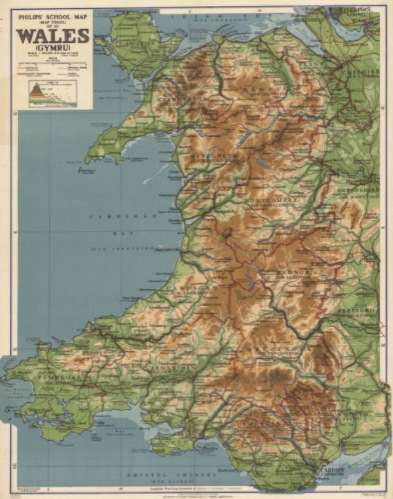
    1939 - George PHILIP - Philips' school map of Wales. (Map Ysgol o Gymru).
    1964 - Land use summary map [of South Wales]