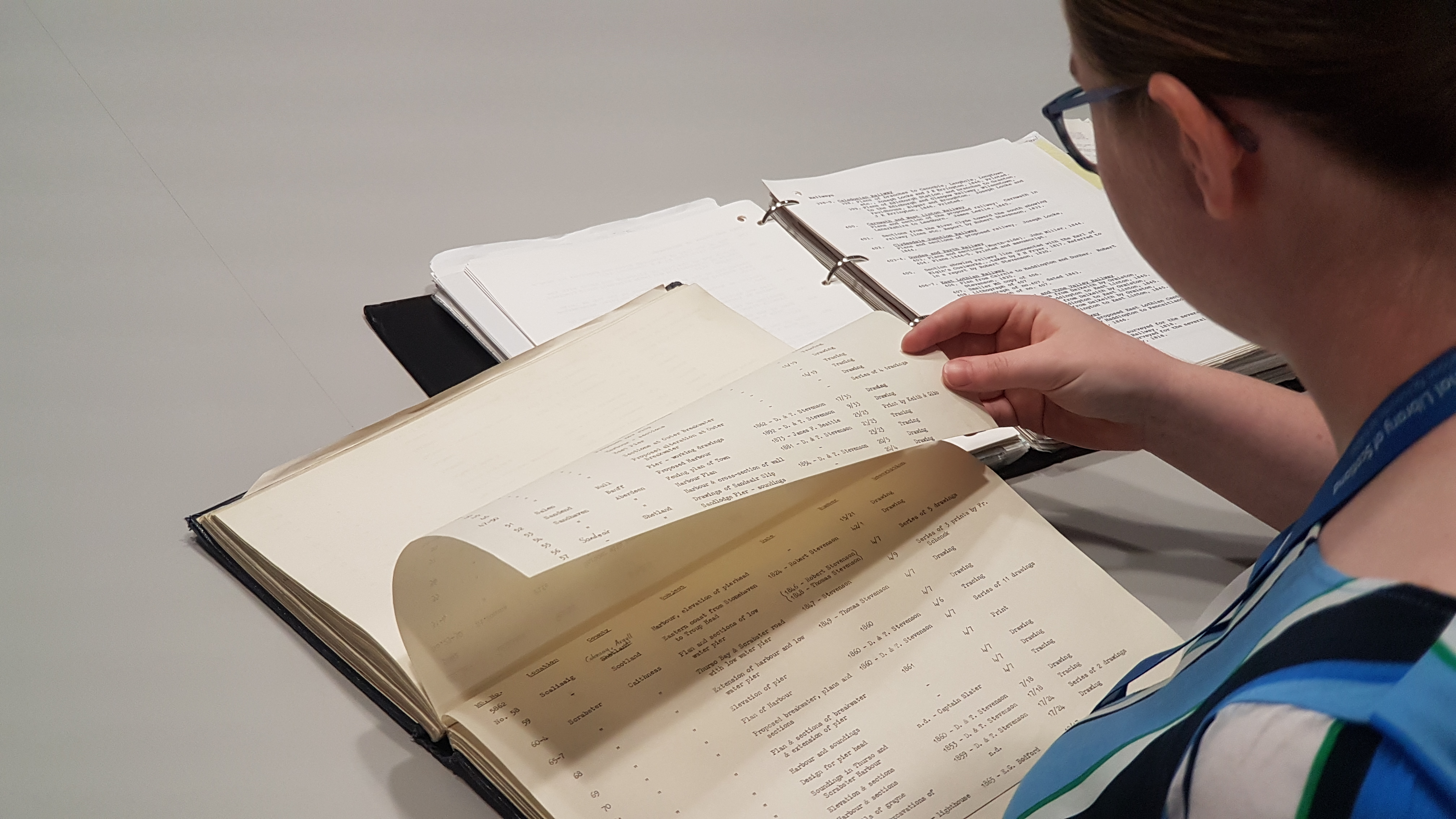
This website provides an online finding aid to the Stevenson maps and plans of Scotland.
It was created by Rachel Dishington during a 3-month placement in the National Library of Scotland from May – August 2019. Rachel was a PhD student at the University of Edinburgh working on Engineering ‘Modern’ Scotland: The Stevenson Maps and Plans and Scotland’s Built Infrastructure, c.1800–c.1900. Rachel was successfully awarded her PhD in January 2022 and it can be downloaded from the Edinburgh Research Archive. The PhD was funded by the Arts and Humanities Research Council through the Scottish Cultural Heritage Consortium. It was a Collaborative Doctoral Partnership between the University of Edinburgh and the National Library of Scotland.
The project was necessary because the existing paper and electronic finding aids were inadequate for researchers using the Stevenson Archive to study specific geographic areas or civil engineering projects. Adding descriptions and indexing to a standard electronic archive catalogue was an option, but presenting the information via an online map-based tool offers advantages over that method, particularly in allowing the complex variable extents of different maps to be visualised. The result is a finding aid to the Stevenson maps and plans, as well as a public website with supplementary information and selected images.

There have been five connected parts to the workflow:
-
Restructuring and Enhancing the Existing Stevenson finding lists
In 2018, as preparation for this project, the existing two Stevenson paper inventories were typed into structured spreadsheets. A conservation review of the Stevenson collection has also recorded sizes of items, and various other useful data, such as its medium. This was a useful first stage, but both inventories still lacked required metadata, and there were inconsistencies between them.
The MS. 5844-5896 inventory descriptions for items required some reformatting and enhancement to describe what the items were for consistency with Acc. 10706. The Acc.10706 inventory needed to have the facets of date, person, and subject to be clearly separated from the existing basic descriptions, which often mentioned these collectively. Some consultation of original items was required to build up this metadata. The end result was to have, at a minimum, metadata for shelfmark, item description, subject/theme, date, and place/location where these fields existed in the original inventory. The item description was also enhanced with size and medium/format details from the conservation review.
-
Geocoding the finding lists using a desktop GIS
A second phase has geocoded the finding lists using a desktop GIS, assigning geographic polygon features to each plan. This workflow is described in detail in the accompanying Geocoding the Stevenson maps page.
-
Creating a web-mapping interface for the Stevenson maps and plans
The third phase has created a web-mapping interface to the Stevenson maps and plans, using the open-source and popular OpenLayers Javascript software. This workflow is described in detail in the accompanying Setting up the web-mapping interface page.
-
Creating textual access methods
A fourth phase created supplementary access to the collection through textual means, as ordered lists, including those by place, subject and by personal name. For the purposes of third party indexing and discovery, a text-based browseable interface was developed, within the existing maps website design. The Stevenson records were imported to SQLServer as a data layer and thereafter standard querying and filtering by place / subject / name / keyword search processes were set up.
-
Combining the items in a website with a clickable map and textual searching
The four elements were then pulled together as a public web feature on the Library’s maps website with supplementary information and images, therefore providing a finding aid to the Stevenson maps and plans. Supporting information pages on the Stevensons, types of mapping and the project itself, were added to the website, as well as directions to further resources and sources of information.
-
Incorporating scanned images into the website
In 2020, 1070 Stevenson maps were scanned with a large-format, flatbed scanner. As some Stevenson plans are very fragile, held in volumes, or as large rolled maps, this is around half of the total number of Stevenson maps relating to Scotland. All the images were linked to their appropriate records in this website, so that thumbnail images appear with the records when these are searched using the map or text interfaces. The Stevenson metadata was also made available for download, to allow onward re-use. The records and images were also made available in the main Map Images website, with a Stevenson civil engineering plans page, listing all the maps in shelfmark order.


