Estate Maps, 1750s-1900s
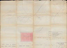
| Name: | Forsyth, Harold Water Engineer, Inverness |
| Title: | Beauly Firth Scheme, Land Acquisition Plan |
| Imprint: | 1880 |
| Pagination: | 1 map: col.; 48 x 68 cm. |
| Shelfmark: | Belladrum08 |
| Notes: | Scale 1:10,560. (6" = 1 mile ). Courtesy of the North of Scotland Archaeological Society and Belladrum Estate. |
| Zoom Into Map: | Click on the map to view in greater detail. |