Estate Maps, 1750s-1900s
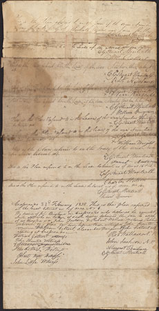

| Title: | Plan of Closeburn Village [Reverse Side] |
| Imprint: | 1838 |
| Pagination: | 1 manuscript; 50 x 25 cm. |
| Shelfmark: | GGD623/8 |
| Notes: | Courtesy of the Ewart Library through the Dumfries Archival Mapping Project. |
| Zoom Into Map: | Click on the map to view in greater detail. |