Ordnance Survey Maps - 25 inch 1st edition, Scotland, 1855-1882
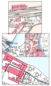
The earliest detailed mapping for all the inhabited regions of Scotland.
Browse the maps:
- By zoomable map of Scotland – with gazetteers of place names for searching
- By map sheet number eg. Aberdeenshire, XV.13 (Peterhead) – county text lists
See also:
- Books of Reference – acreages and land use for each land parcel
- Guide to abbreviations – alphabetical list of standard OS abbreviations
- Guide to symbols – a selection of the more common graphic features
- Further information