Military Maps of Scotland (18th century)
| Field | Content |
|---|---|
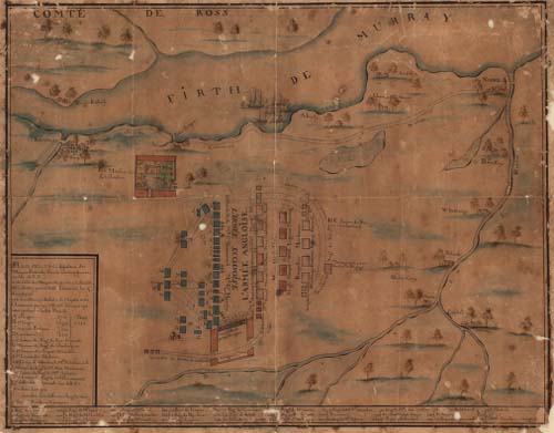
| Title: | Plan exact de la disposition des Troupes Ecossaises sous le Commandement de son A.R.P... |
| Description: | 1 manuscript map ; 429 x 538 mm. |
| Original Survey: | ca. 1748 |
| Date on Map: | ca. 1748 |
| Placename: | Culloden |
| Parish: | Inverness, Croy, Daviot and Dunlichity |
| County: | Inverness-shire |
| Shelfmark: | Acc.11323 |
| Zoom Into Map: | Click on the map to view in greater detail. |
All images © National Library of Scotland