Military Maps of Scotland (18th century)
| Name: | Grante, James Alexander |
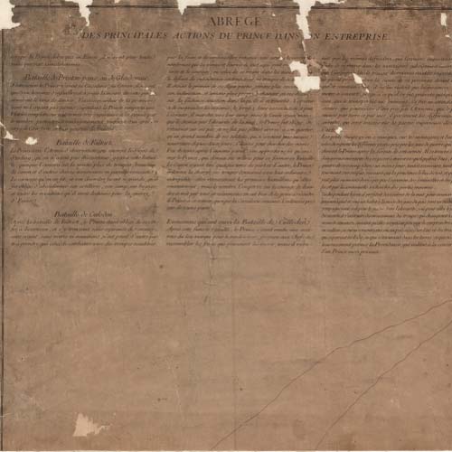
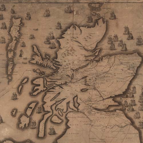
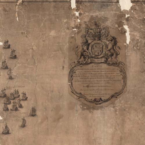
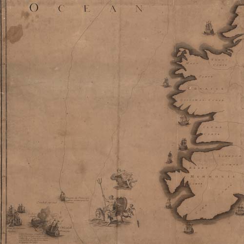
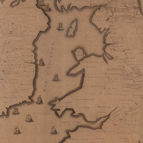
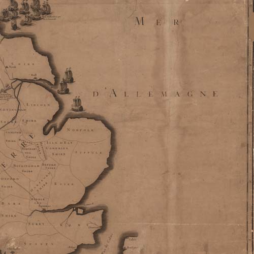
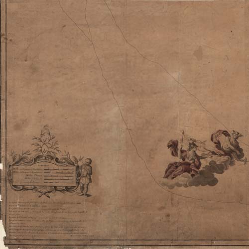
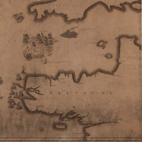
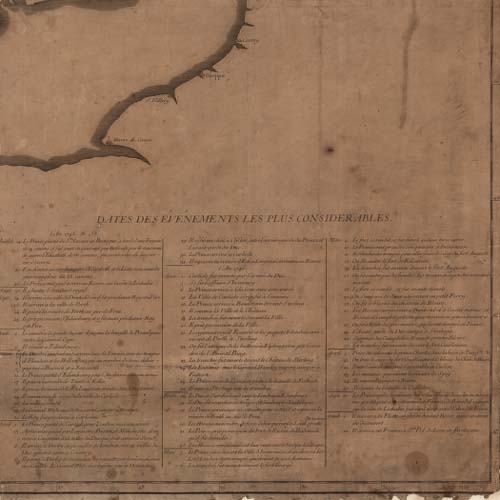
| Title: | Carte ou sont tracees toutes les differentes routes, que S.A.R. Charles Edward Prince de Galles, a suivies dans la grande Bretagne... |
| Original Survey: | ca. 1747 |
| Date on Map: | ca. 1747 |
| Description: | 1 map on 9 sheets ; sheets 510 x 537 mm |
| Shelfmark: | EMGB.s.3 |
| Zoom Into Map: | Click on the maps below to order image or view in greater detail. |
All images © Crown Copyright and © National Library of Scotland
Copyright Enquiries & Copies Help