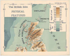
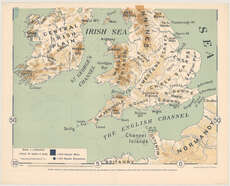
Maps of Great Britain
| Name: | Herbertson, A. J. (Andrew John), 1865-1915. |
| Title: | The British Isles Physical Features / (edited by A.J. Herbertson [and] compiled and drawn by B.V. Darbishire. |
| Imprint: | London : M. Frowde, 1910. |
| Pagination: | 1 map on 2 sheets. |
| Shelfmark: | Map.l.27.47 |
| Notes: | Scale 1:1,000,000 |
| Zoom Into Map: | Click on the maps below to order image or view in greater detail. |
 |
 |