A Collection of Surveys of Scottish Estates of the Earl of Selkirk, ca. 1808-1815
This collection of 45 estate maps comprises finished master copies, working copies with land area schedules, and draft sketch copies covering twenty-six farms and properties on the St Marys Isle Estate, south of Kirkcudbright. This was the principal estate of the Earls of Selkirk in the 18th and 19th centuries. The majority of the plans can be attributed to John McKinlay.
Read further information about these plans.
Courtesy of the Yale Centre for British Art through the Dumfries Archival Mapping Project.
Browse the maps:
- Nuntons
- Mayfield
- Netherthird
- Torrs
- Culdooch
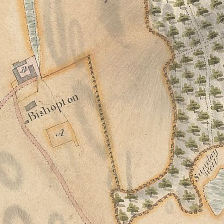
- Bishopton
- Balmae
- Milton
- Torrs
- Bishopton
- Palmangan
- Mayfield
- Senwick
- Nuntons
- Netherthird
- Balmangan
- Culdoch
- The Farm
- Milton
- Bishopton
- Black - Stockarton
- Kirkeoch and Nunmill
- Drumore Farm
- Little Kirkland
- Townhead and Drummore
- Culraven and Broadfield
- Little Sypeland
- Farm of Highbanks
- Little Sypeland
- Little Stockartown and Jurdiland
- Whinny Liggate; Balgredan
- Balgreddan and Whinny Liggate
- Kirkeoch; Nun Mill
- Brouckleugh; Mieckle Sypeland
- Old Mill of Twynhame
- Meikle Sypeland; Brockcleugh
- Whinny Liggate; Balgreddan
- Plan of Drumore and How-well Meadows
- Back, Gata and North, Milton
- North Nunton; South Nunton
- Bombie Mill, Bombie, Tongue of Bombie
- Plan of the Back Gatas Lying in the Parish of Kirkcudbright
- Howwel; Burnside; Silverhill; Gregory and Low Milton
- Kirkland, Drumcroy, Auchenfloor, Cannee, Barhill and Silvercroigs
- The Farm Consisting of Kirland Drumcroy, Auchenfloor, Cannee, Barhill and Silvercraigs (formerly Nuntons)