Plans of the south side of Barony of Sanquhar, 1766
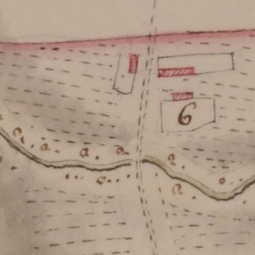
A set of 24 plans, bound into one volume, relating to the south side of the Barony of Sanquhar, Dumfries-shire. The maps were all surveyed by James Leslie (ca. 1758-1775). These maps and their accompanying tables of contents (with descriptions, acreages, etc.) are listed in the order they are in the volume below.
We are very grateful to the Dumfries Archival Mapping Project for scanning these maps.
Book of plans of the south side of Barony of Sanquhar, the property of the Duke of Queensberry (1766)
24 plans of farms relating to the parishes of Sanquhar and Kirkconnel, surveyed by James Leslie (ca. 1758-1775)
RHP 38137
- The plan of the Southside of the Barony of Sanquhar etc.
- Farm of Marburn
- Farm of Marburn - Table of Contents
- Farm of Upper Cairn
- Farm of Upper Cairn - Table of Contents
- Farm of McKririck's Cairn
- Farm of McKririck's Cairn - Table of Contents
- Farm of Nether Cairn
- Farm of Nether Cairn - Table of Contents
- Farm of Rack
- Farm of Rack - Table of Contents
- Farm of Crocroy
- Farm of Crocroy - Table of Contents
- Farm of Hillend
- Farm of Hillend - Table of Contents
- Farm of Carcarse
- Farm of Carcarse - Table of Contents
- Farm of Manwhare
- Farm of Manwhare - Table of Contents
- Farm of Rigg
- Farm of Rigg - Table of Contents
- Farmof Upper & Nother Librie
- Farmof Upper & Nother Librie - Table of Contents
- Farm of Killoside
- Farm of Killoside - Table of Contents
- Farm of Glengape
- Farm of Glengape - Table of Contents
- Drumbuie
- Drumbuie - Table of Contents
- Farm of Connall Bush
- Farm of Connall Bush - Table of Contents
- Farm of Barr Moor
- Farm of Barr Moor - Table of Contents
- Farm of Burnfoot
- Farm of Burnfoot - Table of Contents
- Farm of Barr Park
- Farm of Barr Park - Table of Contents
- Farm of Crofthill
- Farm of Crofthill - Table of Contents
- Farm of Glenglas
- Farm of Glenglas - Table of Contents
- Farm of Fewchoch
- Farm of Fewchoch - Table of Contents
- Farm of Kiln and Ulzieside
- Farm of Kiln and Ulzieside - Table of Contents
- Farm of South Mains
- Farm of South Mains - Table of Contents