Maps of Great Britain and Ireland
| Field | Content |
|---|---|
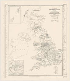
| Title: | Stanford's parliamentary election map of the British Isles, showing the counties, divisions of counties & boroughs according to the representation of the people act, 1918. |
| Imprint: | London, [1945] |
| Shelfmark: | Map.l.4.37 |
| Zoom Into Map: | Click on the map to view in greater detail. |