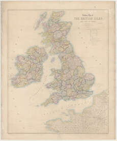
Maps of Great Britain and Ireland
| Field | Content |
|---|---|
| Name: | Davies, Benjamin Rees. |
| Title: | Railway map of the British Isles and part of France / (drawn & engraved by) B.R. Davies. |
| Imprint: | London : E. Stanford, 1864. |
| Pagination: | 1 map ; 899 x 730 mm. |
| Shelfmark: | Map.l.25.6 |
| Notes: | Scale 1:1,267,200 |
| Zoom Into Map: | Click on the map to view in greater detail. |