Maps of Great Britain and Ireland
| Field | Content |
|---|---|
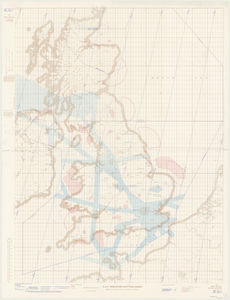
| Name: | Great Britain. War Office. |
| Title: | R.A.F. Mercator plotting chart : NW 48 1/2 - 8 1/2 United Kingdom. |
| Imprint: | [London] : D Survey War Office and Air Ministry, 1963 |
| Pagination: | 1 map: col.; 113 x 85 cm, on sheet 122 x 93 cm. |
| Shelfmark: | Map.Area.C16(170) |
| Zoom Into Map: | Click on the map to view in greater detail. |