County maps, 1580s-1950s
| Field | Content |
|---|---|
| Name: | Ordnance Survey |
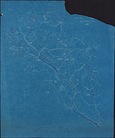
| Title: | Sketch plan of Reay Forest from the Ordnance survey, 1889 - blueprint |
| Pagination: | 1 map : col. ; 63 x 51 cm |
| Shelfmark: | Acc.10225/329 |
| Notes: | We are very grateful to Sutherland Estates for permission to display this map on our website. Sutherland Estate mapping home page. |
| Zoom Into Map: | Click on the map to view in greater detail. |