County maps, 1580s-1950s
| Name: | Gordon, Robert, 1580-1661 |
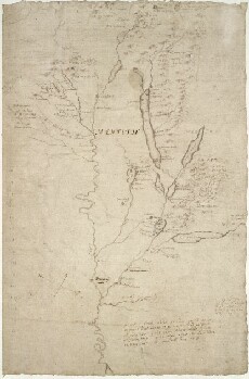
| Title: | [A map of the basin of the River Forth, down to the widening of the estuary near Alloa]. |
| Imprint: | [ca. 1636-52] |
| Pagination: | 1 manuscript map ; 315 x 205 mm. |
| Shelfmark: | Adv.MS.70.2.10 (Gordon 51) |
| Notes: | Part of this area is described in the Pont texts: page 131, and pages 155-6. |
| Zoom Into Map: | Click on the map to view in greater detail. |