County maps, 1580s-1950s
| Field | Content |
|---|---|
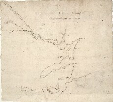
| Name: | Gordon, James, 1615?-1686 |
| Title: | A draught of the Firths of Tayne, Cromartie, & Inverness, wt ye true distances as yey do ly. |
| Imprint: | [ca. 1636-52] |
| Pagination: | 1 manuscript map ; 125 x 298 mm. |
| Shelfmark: | Adv.MS.70.2.10 (Gordon 16) |
| Zoom Into Map: | Click on the map to view in greater detail. |