River engineering plans of Scotland, 18th-20th centuries
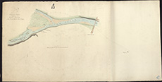
| Title: | Conon, River - Sketch plan from Cruive Dyke to Conon Bridge |
| Pagination: | 1 map : col.; 550 x 1095 mm. |
| Shelfmark: | MS.5846, No.97 |
| Notes: | This map is from our Stevenson civil engineering plans collection. |
| Zoom Into Map: | Click on the map to view in greater detail. |