Estate Maps, 1750s-1900s
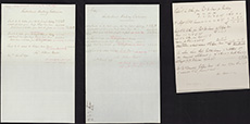
| Title: | Measurement of land at Golspie Tower taken for the Railway, 1870 |
| Imprint: | 1870 |
| Pagination: | 3 leaves of paper; 33 x 26 cm |
| Shelfmark: | Dep.313/3618/17 |
| Notes: | We are very grateful to Sutherland Estates for permission to display this map on our website. Sutherland Estate mapping home page. |
| Zoom Into Map: | Click on the map to view in greater detail. |