Estate Maps of Scotland, 1730s-1950s
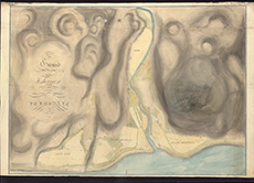
| Title: | Plan of the ground allotted for Fishermen at and near Helmsdale, 1817 |
| Imprint: | 1817 |
| Pagination: | 1 manuscript map: col.; 87 x 129 cm |
| Shelfmark: | Dep.313/3621/1 |
| Notes: | We are very grateful to Sutherland Estates for permission to display this map on our website. |
| Zoom Into Map: | Click on the maps below to order image or view in greater detail. |
Map
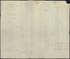
Index to Helmsdale map - 1
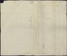
Index to Helmsdale map - 2