Estate Maps, 1750s-1900s
| Name: | Wilson, Thomas |
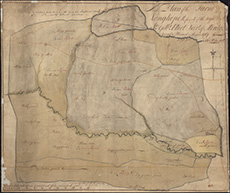
| Title: | A Plan of the Farm of Longhope the property of the Right Honble. Sr. Gilbt. Elliot Bart. of Minto: 1767. |
| Imprint: | 1767 |
| Pagination: | 1 map; 63 x 75 cm |
| Shelfmark: | MS.13428 |
| Zoom Into Map: | Click on the map to view in greater detail. |