County maps, 1580s-1950s
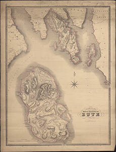
| Title: | Johnston's map of the county of Bute. |
| Imprint: | Edinburgh, [ca. 1855] |
| Pagination: | 1 map ; 655 x 484 mm. |
| Shelfmark: | Signet.s.020 |
| Notes: | We are very grateful to the WS Society for their permission to display this map online. View Signet Library collection maps of Scotland held at NLS. |
| Zoom Into Map: | Click on the map to view in greater detail. |