Estate Maps, 1750s-1900s

| Name: | Ordnance Survey |
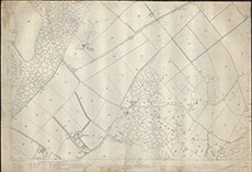
| Title: | [OS Meikle Phoenas & Balchraggan] |
| Imprint: | 1904 |
| Pagination: | 1 map; 70 x 102 cm. |
| Shelfmark: | Lovat359 |
| Notes: | 1:2534. (25" = 1 mile ). Standard 2nd edn OS map centred on Meikle Phoenas & Balchraggan, with some over-writing in pencil and colour. Courtesy of Lovat Highland Estates and the North of Scotland Archaeological Society. View Lovat Highland Estates mapping |
| Zoom Into Map: | Click on the map to view in greater detail. |