Estate Maps, 1750s-1900s
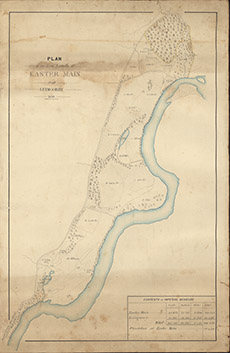

| Title: | Plan of the Low Lands of Easter Main and Leimgorry, 1859 |
| Imprint: | 1859 |
| Pagination: | 1 manuscript map: col.; 52 x 35 cm. |
| Shelfmark: | Lovat206 |
| Notes: | Courtesy of Lovat Highland Estates and the North of Scotland Archaeological Society. |
| Zoom Into Map: | Click on the map to view in greater detail. |