Ordnance Survey - Quarter Inch to the Mile Maps of Scotland
3rd Edition, 1940-1941. RAF (War) 2nd Edition
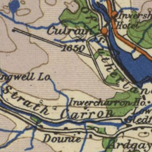
These maps at quarter inch to the mile (1:253,440) were reduced from larger-scale mapping at the half-inch and one-inch to the mile scales, primarily dating from the third national revision of 1912-1923. With some minor variations, each sheet covers 72 x 108 miles, with all of Scotland covered in ten sheets. This RAF 2nd edition (War) was printed in the early years of the Second World war, with relief shown in shades of purple and blue, for better visibility in aeroplane cockpits (with subdued amber lighting to maintain better night vision). A red overprint was added of significant features for aeronautical purposes, including racecourses and golf-courses, as well as aerodromes, landing grounds, seaplane stations, air navigation lights, and prohibited flying areas. These maps are held at: Map.Area.C18(63C).
View other quarter-inch to the mile maps of Scotland.
- View the maps with a graphic index of Scotland