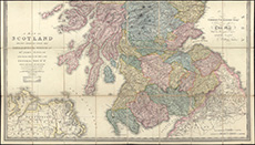
Maps of Scotland
| Name: | Faden, William, 1750-1836 |
| Title: | A map of Scotland : drawn chiefly from the topographical surveys of Mr. John Ainslie and from those of the late General Roy &c. &c. shewing the great and cross roads, and the distances between the towns / by William Faden, Geographer to the King. |
| Imprint: | London : J Wyld 1827. |
| Pagination: | 1 map on 2 sheets : hand col. ; each sheet 55 x 97 cm, 104 x 90 cm., dissected, mounted on linen and folded to 19 x 12 cm. |
| Shelfmark: | EMS.b.2.134 |
| Zoom Into Map: | Click on the maps below to order image or view in greater detail. |
Top section
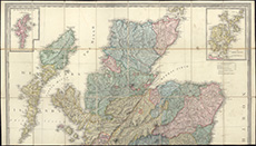
Bottom section