County maps, 1580s-1950s
| Name: | Bryant, Andrew |
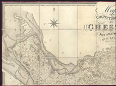
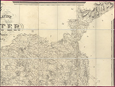
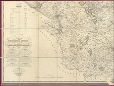
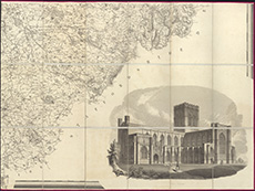
| Title: | Map of the county palatine of Chester from an actual survey made in the years 1829, 1830 & 1831 |
| Imprint: | London : A. Bryant, 1831 |
| Pagination: | 1 map on 4 sheets ; sheets ca. 72 x 96 cm (ca. 28 x 37 inches) |
| Shelfmark: | EME.b.2.1 |
| Zoom Into Map: | Click on the maps below to order image or view in greater detail. |
 |
 |
 |
 |