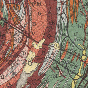
Geological Survey maps, 1840s-1940s

National geological map series by the Geological Survey.
We have scanned all our out-of-copyright holdings of geological maps of England, Scotland and Wales. This includes a detailed set of six-inch to the mile maps, focusing just on areas with economically valuable geology, as well as less detailed one-inch to the mile maps. There are also a set of Horizontal and Vertical Sections for areas in Scotland.
- View the maps with a graphic index
- View the one-inch maps of Scotland as a seamless layer on a satellite image base
View specific series:
- Six-inch to the mile geological maps home page
- One-inch to the mile geological maps home page
- Ordnance Survey Ten Mile Planning Maps - 1940s-1960s
View geological maps of the whole of Scotland in the 19th century.
