Estate Maps, 1750s-1900s
| Name: | McWilliam, George |
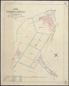
| Title: | Lossiemouth - Plan of lands of Coularthill and Stotfield |
| Imprint: | 1855 |
| Pagination: | 1 map : col.; 585 x 470 mm. |
| Shelfmark: | MS.5855, No.69 |
| Notes: | This map is from our Stevenson civil engineering plans collection. |
| Zoom Into Map: | Click on the map to view in greater detail. |