Estate Maps, 1750s-1900s
| Name: | Ordnance Survey |
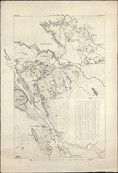
| Title: | Enlargement of 6 inch OS map, Sutherland IX, Farr, showing Armadale and Swordly crofts [Crofters' Commission map] |
| Imprint: | n.d. |
| Pagination: | 1 map ; 99 x 90 cm |
| Shelfmark: | Acc.10225/147 |
| Notes: | We are very grateful to Sutherland Estates for permission to display this map on our website. Sutherland Estate mapping home page. |
| Zoom Into Map: | Click on the map to view in greater detail. |