Estate Maps, 1750s-1900s
| Name: | Ballie,. |
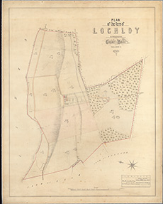
| Title: | Plan of the farm of Lochloy / as possessed by Captain Ballie, from a survry [sic.] in 1864. |
| Imprint: | Drawn 1864] |
| Pagination: | 1 map ; 677 x 523 mm |
| Shelfmark: | EMS.s.673 |
| Zoom Into Map: | Click on the map to view in greater detail. |