Estate Maps, 1750s-1900s
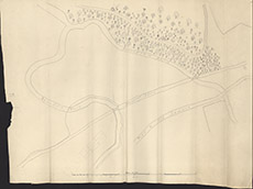

| Title: | [Beaufort Drive] |
| Imprint: | 19th century |
| Pagination: | 1 manuscript map; 57 x 66 cm. |
| Shelfmark: | Lovat094 |
| Notes: | Very rough sketch of roads around junction of Belladrum Burn and Beaufort Burn Scale 1:626. (600' = 11½" ). Courtesy of Lovat Highland Estates and the North of Scotland Archaeological Society. View Lovat Highland Estates mapping |
| Zoom Into Map: | Click on the map to view in greater detail. |