Estate Maps, 1750s-1900s
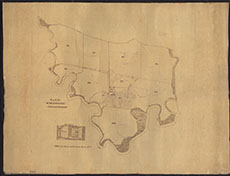

| Title: | SHAMBELLIE ESTATE (PLAN No 20: Plan of Carse Farm) |
| Pagination: | 1 manuscript map : col.; 73 x 95 cm. |
| Shelfmark: | Map/BL/18 |
| Notes: | Courtesy of Dumfries Museum through the Dumfries Archival Mapping Project - view futher details. |
| Zoom Into Map: | Click on the map to view in greater detail. |