Estate Maps, 1750s-1900s

| Name: | Stitt, H., fl. 1826-1866 |
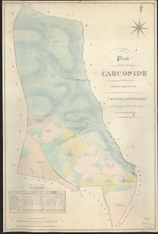
| Title: | Plan of the lands of Carcoside |
| Imprint: | 1855 |
| Pagination: | 1 manuscript map : col.; 75 x 50 cm. |
| Shelfmark: | RHP37511 |
| Notes: | Courtesy of Buccleuch Estates through the Dumfries Archival Mapping Project - view futher details. |
| Zoom Into Map: | Click on the map to view in greater detail. |