Pont maps | Pont texts | biographies | history | subjects | further reading
Pont Maps of Scotland, ca. 1583-1614 - Pont texts
Sumwhat of Glen-Gyle, Glen-Maen, Glenfinglas
Click on image to zoom into text

![Previous: The Strath of Monteeth and all upon the northsyd of Gudy, The north [sic] syd of Teith River, North syd of Teeth](../../img/previous.gif)
Scroll through text pages
Pagination: 157v
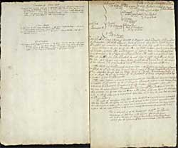
Transcription of text:
Sumwhat of Glen-Gyle
As you go down the south month therof the uppermost seat to the nordward is Achaduncriack, marching with Binglash. Item ther is Portinillen fornent yland Mernoch 2 myl from the former. Glen-cash is 2 myl long, it hath on the north syd Bhellach-Shan-larig. The uppermost is called Schelach-chrombe. Item the ridge of the month betuix thir and Glen-Maen is called Stronavizairg.
Glen-Maen
The uppermost is cald Craig-menessich, a myl thence Tassechuckary, 2 myl thence Cory na chrich, al thir on the north of Glen-Maen.
Upon the southsyd therof is Cory-Clach, 2 myl thence Craig na Maddy, a myl thence Aesh-na-clachdien.
Glenfinglas
The uppermost is Laggavan vinnich, a myle thence Tom-na-ban-rie, a myl thence Luirgin-raid, 2 myl thence upon the ridge of the month betuix Glen-Maen and Glen-finglas is Boil-naif.
Upon the south syd of Glenfinglas is Kean-naske, 2 myl beneth it is Dalcharry, a myl thence Dalnaif.