Pont maps | Pont texts | biographies | history | subjects | further reading
Pont Maps of Scotland, ca. 1583-1614

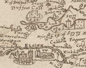
Among the National Library of Scotland's greatest treasures are the earliest surviving detailed maps of Scotland, made by Timothy Pont over 400 years ago, in the 1580s and 1590s.
- Further information:
- Biographies of the main people connected to the Pont maps:
- The elusive Timothy Pont
- Timothy Pont: the facts
- The Pont family: a summary
- The Pont family: a detailed report (PDF)
- Pont's story as told by Robert Gordon
- Robert Pont, Timothy Pont's father
- Sir James Balfour of Denmilne
- Sir John Scot of Scotstarvit
- Robert Gordon of Straloch
- Joan Blaeu
- James Gordon of Rothiemay
- Sir Robert Sibbald
- Caleb G. Cash
- History of the Pont maps:
- Value of the Pont maps for researching particular subjects:
- Further reading:
The Pont Maps website has been produced with financial support from the Jerwood Charitable Foundation.
