Military Maps of Scotland (18th century)
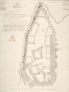
| Title: | Plan of the Ground walls of Blackness Castle |
| Description: | 1 manuscript map ; 600 x 448 mm. |
| Placename: | Blackness Castle |
| Parish: | Carriden |
| County: | Linlithgowshire/West Lothian |
| Shelfmark: | MS.1650 Z.46/61a |
| Zoom Into Map: | Click on the map to view in greater detail. |
All images © Crown Copyright and © National Library of Scotland