Military Maps of Scotland (18th century)
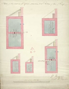
| Title: | [Edinburgh Castle] Plans of 5 Five Cisterns of Different dimentions, with Sections of their Roofs |
| Name: | Rudyard, Henry (Engineer) |
| Description: | 1 manuscript map ; 639 x 498 mm. |
| Original Survey: | 1794 |
| Date on Map: | 1794 |
| Placename: | Edinburgh Castle |
| Parish: | Edinburgh |
| County: | Edinburghshire/Midlothian |
| Shelfmark: | MS.1649 Z.03/53 |
| Zoom Into Map: | Click on the map to view in greater detail. |
All images © Crown Copyright and © National Library of Scotland