Military Maps of Scotland (18th century)
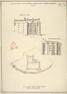
| Title: | Plan and Elevations of the Castle of Glengary [copy] 1741 |
| Name: | Petit, Lewis (Engineer) |
| Description: | 1 manuscript map ; 479 x 339 mm., on sheet, 518 x 352 mm. |
| Original Survey: | 1741 |
| Date on Map: | 1741 |
| Placename: | Glengarry |
| Parish: | Kilmonivaig |
| County: | Inverness-shire |
| Shelfmark: | MS.1648 Z.03/27b |
| Zoom Into Map: | Click on the map to view in greater detail. |
All images © Crown Copyright and © National Library of Scotland