Military Maps of Scotland (18th century)
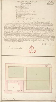
| Title: | Plan of the Kings House and Garden at Perth [1723] [copy] |
| Name: | Romer, John Lambertus (Engineer) Cooper, John (Copyist) |
| Description: | 1 manuscript map ; 508 x 268 mm., on sheet, 525 x 303 mm. |
| Original Survey: | 1773 |
| Date on Map: | 1773 |
| Placename: | Perth |
| Parish: | Perth |
| County: | Perthshire |
| Shelfmark: | MS.1647 Z.03/03b |
| Zoom Into Map: | Click on the map to view in greater detail. |
All images © Crown Copyright and © National Library of Scotland