Admiralty Charts of Scotland, 1795-1904
| Name: | Great Britain. Hydrographic Office |
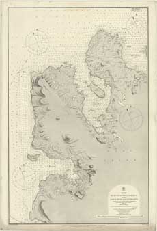
| Title: | Ru Ruag to Gruinard Bay - including Loch Ewe and Gairloch |
| Imprint: | [London: Hydrographic Office], revised to May 1900 |
| Pagination: | 1 map; 69 x 101 cm. |
| Shelfmark: | Admiralty Chart 2509 |
| Zoom Into Map: | Click on the map to view in greater detail. |